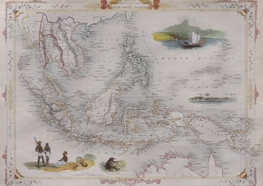
MALAY ARCHIPELAGO OR EAST INDIA ISLANDS
£125
Decorative full colour example of a beautiful map of ‘Malay Archipelago or East India Islands’.
With vignettes of Victoria Mount, New Guinea, Nativaes of New Guinea and scenes near Sarawak, Borneo. Comes from ‘The Illustrated Atlas, And Modern History Of The World Geographical, Political, Commercial & Statistical, Edited By R. Montgomery Martin’. Published; John Tallis London, New York, Edinburgh & Dublin. 1851. Drawn and Engraved by J. Rapkin.
Trimmed tight at top with margin extended for framing
Excellent hand colour
Overall very good condition
code : M4984
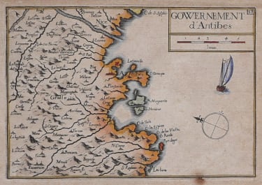
Cartographer : Nicolas Tassin
Date : 1851 London
Size : 34 *25 cms sheet 36 x 26.5 cms
availability : Available
Price : £125
TASSIN, Nicolas
fl. 1633 - 1655
Tassin was appointed 'royal cartographer' at Dijon before setting up as an engraver in Paris where he issued various collections of small maps and plans of France, Switzerland, Germany and Spain.