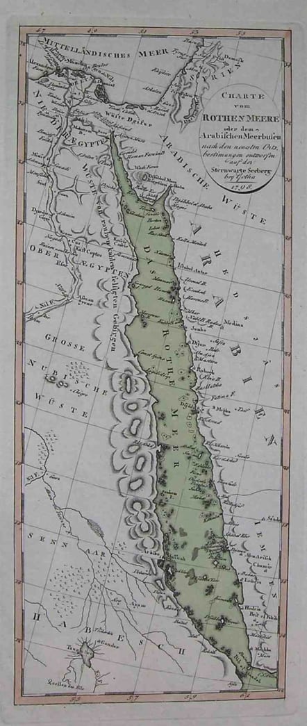
RED SEA CHARTE VOM ROTHEN MEERE
Sold
An unusual map of Red Sea, showing eastern Egypt, Sudan, and Eritrea as well as Syria, Arabia, Yemen, and the Nile Delta. Includes many place names such as Beirut, Jeruselam, Gaza, Jiddah, and Mecca.Detailed chart showing islands,sandbanks,anchorages etc.This is an original engraved map,with original wash colour.Very good condition.
code : M1735
Cartographer : Adolph
Date : 1798
Size : 37*16cms
availability : Sold
Price : Sold
Adolf Stieler (1775-1836) was a German cartographer who worked most of his life in the Justus Perthes Geographical Institute in Gotha.
His atlases are deservedly held in high esteem for their excellence. His Handatlas was the leading German world atlas until the middle of the 20th century, parts of which were printed until 1944.