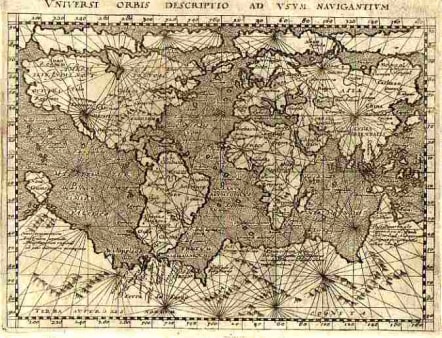
WORLD UNIVERSI ORBIS DESCRIPTIO AD USUM NAVIGANTIUM
Sold
A mariner's map based on Gerard Mercator's large world map of 1569. The engraver has added a fanciful range of mountains on the southern continent. The map is crisscrossed by rhumb lines and the oceans are stipple engraved in the Italian style. Text on verso. The map comes from a scarce pirate edition published by Petrus Keschedt in Cologne one year after the publication of Magini's original work. Ortelius informed Magini in November 1597 about this and the publication was stopped till 1608 when a new edition was issued by Keschedt. Although the map is based on Magini's 1596 Geographiae it is in fact a new plate. The Magini's 1596 edition of Geographiae was the first reduced size version of Mercator's atlas. This is the second. MINT CONDITION MUCH BETTER THAN SCAN Ref: Shirley 204 SOLDcode : M1558
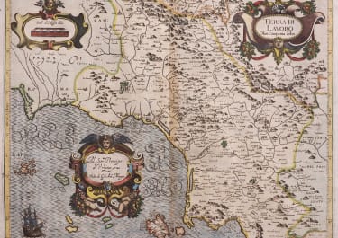
Cartographer : MAGINI Giovanni
Date : 90/ 1596/ Venice
Size : 13*17.5cms
availability : Sold
Price : Sold
Giovanni Antonio Magini (1555-1617) was born in Padua, Italy, and studied medicine, mathematics, astronomy and philosophy at the University of Bologna where he was later to become a professor of astronomy. He corresponded with many of the renowned figures of the age including Ortelius, Tycho Brahe, Galileo and Johanes Kepler. He authored various works on astronomy and also produced the first printed atlas of Italy, which was published posthumously by his son Fabio. Other works included the "Geographiae Universiae" (1597) and "Moderne Tavole Di Geografia" amongst others.

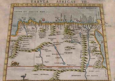
Africa

£195
Greece

Italy


Italy
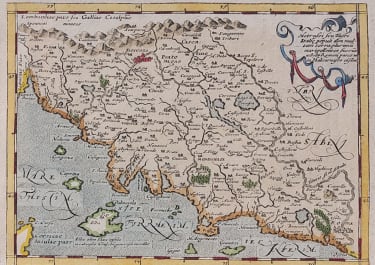
Italy

Spain & Portugal


Europe Continent

£265
Africa

Asia

Middle East

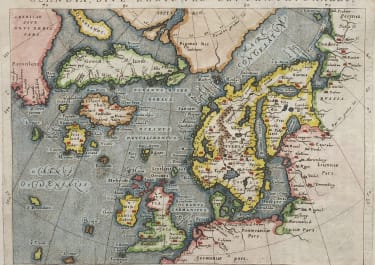
Scandinavia