A NEW MAP OF THE KINGDOME OF ENGLAND REPRESENTING THE PRINCEDOM OF WALES ...
£175
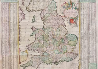
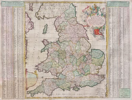
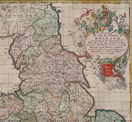
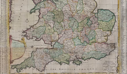
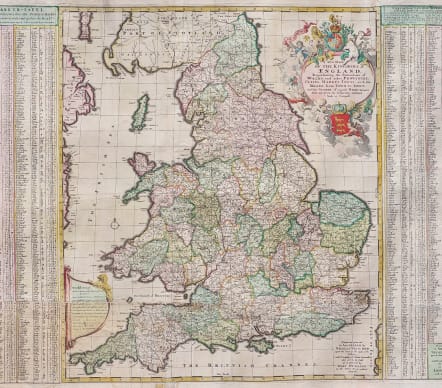
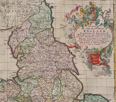
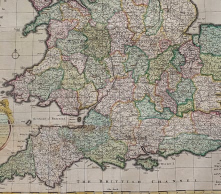
A New Mapp of the Kingdome of England, Representing the Princedome of Wales, and other Provinces, Cities, Market Towns, with the Roads from Town to Town.
Printed and given out by Nicolas Visscher upon the Dam at the signe of the Fischer. and are to be sold by John Overton at the White Horse without NewgateFascinating map of England and Wales, focusing on the distances between cities and market towns (large and small) at the end of the 17th Century. The map was published by Visscher, but includes a note that it was available for sale in London through John Overton, at the White Horse without Newgate. An interesting and unusual collaborative effort for the period.
Beautiful large cartouche
This map is nearly always found without tables either side
Laid down on arcihval paper
Repairs esp in west country
But very good original colour
The price reflects the repairs but this map would look stunning framed
Due to size premium shipping
code : M5664
Cartographer : Nicolaas VISSCHER
Date : 1695 Amsterdam
Size : 59*78 cms
availability : Available
Price : £175
Among the many great Dutch map publishers active in the seventeenth century were the Visscher family; the firm was begun by Claes Jansz Visscher (1587-1652), and subsequently included his son Nicolaas (1618-1679), grandson Nicolaas II (1649-1702) and then his grandson’s widow, Elizabeth, until her death in 1726.
Although mainly art dealers, the Visschers were prolific publishers, producing individual maps and also atlases made up to their customers’ specifications. Indeed, they are commonly regarded as second only to the Blaeus among Dutch map-makers for the high quality of engraving and decoration and the geographical accuracy of their many maps. Particularly outstanding - not only as maps but as works of art - are their world maps.