DUCATUS LUXEMBURG
£175
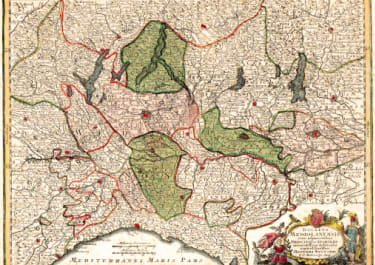
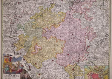
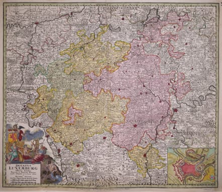
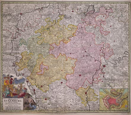
Ful title Ducatus Luxemburg Distintis Limitibus Majorum et Minorum Ditionum Exacte Designatus et in Lucem Editus
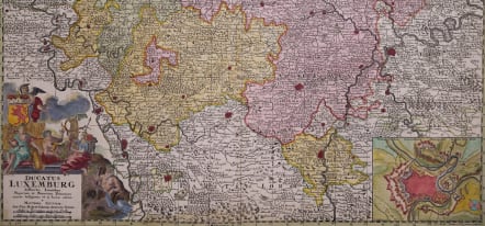
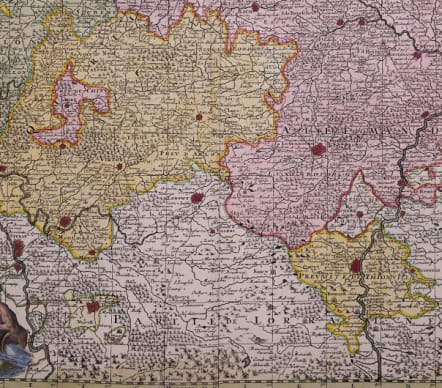
Very detailed antique map of Luxembourg (Luxembourg) by Georg Matthäus Seutter.
In the east the Moselle with Diedenhofen and Trier, in the west the Meuse with Huy, Namur and Charleville-Mézières.
Decorated with a beautiful title cartouche... with the gods Ceres, Bacchus, Diana and two river gods, above a putti holding the crowned coat of arms of Luxembourg.
To the lower right a small view with the fortifications of Luxembourg.
Good hand colour
Good condition
code : M5679
Cartographer : SEUTTER Family
Date : 1730 Augsburg
Size : 50*58 cms sheet 52*63 cms
availability : Available
Price : £175
Besides the Homanns, the other great German publishers of the eighteenth century were the Seutter family. Mattheus Seutter the elder (1678-1757) was apprenticed to Johann Baptist Homann in 1697 in Nuremberg, but left to settle in Augsburg where he established his own business publishing atlases, including the "Atlas Geographicus" (1725) and "Grosser Atlas" (circa 1735). Seutter's style was heavily influenced by Homann, with distinctive similarities appearing in his maps. He was joined in the business by his son, Albrecht (1722-1762), who continued the firm in partnership with Tobias Conrad Lotter (1717-1777) on his father's death.