
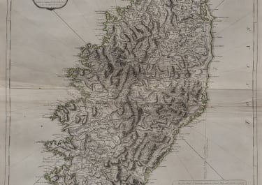
A NEW MAP OF THE ISLAND AND KINGDOM OF CORSICA
£300
Detailed and attractive 1794 map of the Island and Kingdom of Corsica. Covers the entire island in extraordinary detail offering both topographical and political information. With its unique blend of dramatic mountains and stunning pristine beaches, Corsica is considered to be one of the world's most beautiful places. A note in the lower right hand quadrant discusses the geography and population of the island. Prepared by Thomas Jefferys and published by Laurie & Whittle in Kitchin's 1794 General Atlas .
Printed on heavy paper. Good strong impression.
Centre fold.
Good condition
code : M5391
Cartographer : LAURIE & WHITTLE
Date : 1794 London
Size : 64*50.5 cms
availability : Available
Price : £300


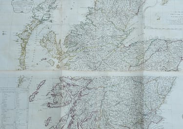
British Isles
British Isles