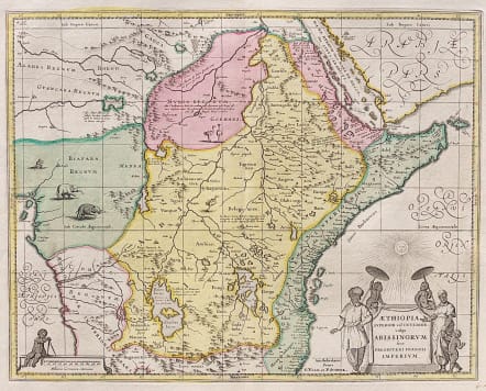
AETHIOPIA SUPERIOR VEL INTERIOR VULGO ABISSINORUM
£395
Very attractive map in full original colour.
Map shows central and eastern Africa including Mozambique north to present day Sudan
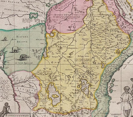
The map shows many coastal place names such as Mozambique Island, Quiloa, Mombaza, and Melinde indicating the importance of the area to both Arab, Portuguese, and traders and explorers from other countries. Congo is shown on the west coast and the two lakes of Zaire and Zaflan described by Ptolomy are in the lower portion of the map. Lake Niger, and the supposed course of the Niger River, is shown flowing westward. This map is based on Ortelius' map of Prester John of 1573.
Decorative title cartouche, black and white as issued; elephants, ostriches and monkeys within the land.
Mint condition.
code : M3853
Cartographer : SCHENK & VALCK
Date : 1690c Amsterdam
Size : 38*51.5 cms
availability : Available
Price : £395
The Schenk family, with co-publishers, the Valks, were among the most prolific and best known publishers of eighteenth century Amsterdam, issuing prints, maps, books and atlases. Their work was invariably finely presented though was primarily reissued from other map-makers’ printing plates, including Visscher, De Wit, Jansson and others. However, their work demonstrates the precision and elegance associated with maps and engravings produced in this important cartographical period.


