
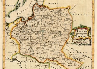
POLAND LITHUANIA AND PRUSSIA
£85
Attractive map of the Kingdom of Poland, before first partition in 1772. Detailed with many place names, rivers etc.
Cartouche
Excellent hand colour
Very good condition
From: Salmon's A New Geographical and Historical Grammar.
code : M4484
Cartographer : Jefferys T
Date : 1764 London
Size : 18*21 cms
availability : Available
Price : £85
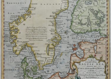
Scandinavia
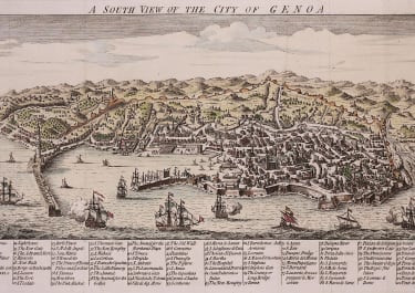
Italy

Spain & Portugal
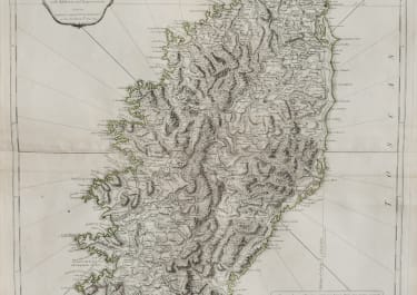
Eastern & Central Europe

France
Asia
