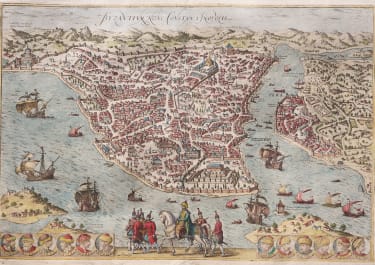
AVIGNON
£395
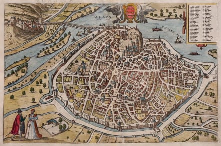
Attractive panoramic view of Avignon, the residence of the French Papacy during the 14th century.
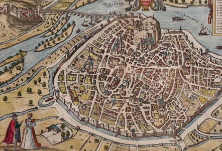
The plan prominently features the fabulous palaces along with the city streets, walls, gates, homes, gardens, windmills and even a gallows.
The Pont d'Avignon stretches from the city, across the Rhone River, to the village of Villeneuve-lès-Avignon.
A strapwork cartouche contains a key to 46 locations and the plan is decorated with a costumed couple in the foreground and the coat of arms at top centre.
Excellent hand colour
Very good condition.
Ref: Van der Krogt 4, 326; Taschen, Braun and Hogenberg, p.150.
COMMENTARY BY BRAUN: "Avignon is a highly famed city with a wonderful church in honour of the Virgin Mary, which enjoys many privileges. This city has a magnificent cardinals' palace and a veritable Carthusian monastery surpassing all others in France. The Roman Papacy had its seat in this city for 70 years. All around the city is good fertile soil, much silk is dyed here and there are also many paper mills due to its favourable location near the water. Not to be forgotten is the university, which flourished particularly during the time when the Pope had his seat here."
code : M5384
Cartographer : BRAUN & HOGENBERG
Date : 1575 Cologne
Size : 31.5*47.5 cms
availability : Available
Price : £395
Georg Braun (1541-1622) and Frans Hogenberg (1535-1590) were co-publishers of the monumental Civitates Orbis Terrarum, “the earliest systematic city atlas” (Koeman), published from 1572 onwards. Designed as a companion to Ortelius’ world atlas the Theatrum, this enormous work, which was expanded to six volumes by 1617 incorporating over 500 plans and views, must be viewed as one of the most ambitious book producing ventures of all time, and certainly, with Ortelius’ Theatrum and Blaeu’s Atlas Maior among the greatest achievements in the history of cartography.
Braun compiled the accompanying text, printed on the reverse of the engraved sheets, while the plans were engraved by Hogenberg, who had also prepared some of the maps for Ortelius’ Theatrum. Hogenberg used generally up-to-date and accurate maps, surveys and reports from local sources to compile this collection of plans and bird’s-eye views of all the major towns of Europe, some African, Middle Eastern and Indian towns, and the New World cities of Mexico and Cusco. One of the major contributors was Georg (or Joris) Hoefnagel, who supplied some 63 manuscript drawings, the vast majority from personal observation.

