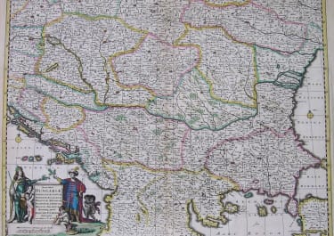
CIRCULI AUSTRIACI
Sold
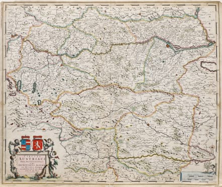
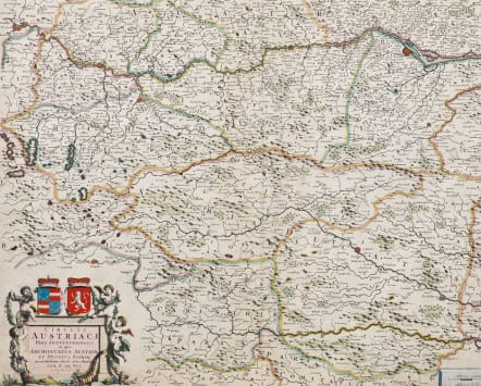
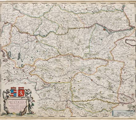
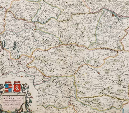
Attractive and detailed antique map of Austria titled 'Circuli Austriaci pars septentrionalis in quia archiducatus Austriae et Ducatus Stiriae accuratissime divisi ostenduntur per F. de Wit'. Detailed map of Austria, centered on the course of the Danube from Passau to Vienna.
Beautiful cartouche with Putti & heraldic devices bottom left.
Top margin extended no loss to printed map.
Good original hand colour.
Good condition
code : M5479
Cartographer : WIT Frederick De
Date : 1680c Amsterdam
Size : 50*58.5 cms
availability : Sold
Price : Sold
Frederick De Wit (1610-1698) was a prolific Dutch engraver and publisher, active in Amsterdam in the second half of the seventeenth century. He acquired a number of copperplates from the sale of the Blaeu and Jansson stocks to supplement his own plates, thus having a stock of about four hundred maps. De Wit’s own maps are noted for the fine standard of engraving, invariably well designed and decorative. They were very popular amongst his contemporaries, being reprinted many times both by himself and his successors, the Mortiers.