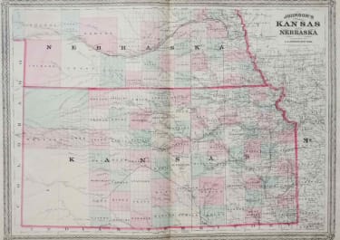
JOHNSON'S KANSAS AND NEBRASKA
£55
A map of Kansas with the lower part of adjoining Nebraska. Detailed county map with each county differently colored, showing landforms, cities and towns, rail and stage routes. Handsome map with decorative border.
Very good condition.
code : M2794
Cartographer : Johnson A
Date : 1962
Size : 43*58 cms
availability : Available
Price : £55
American publisher of Atlases
North America
North America
North America


