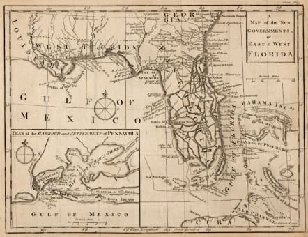
A MAP OF THE NEW GOVERNMENTS OF EAST & WEST FLORIDA
£395
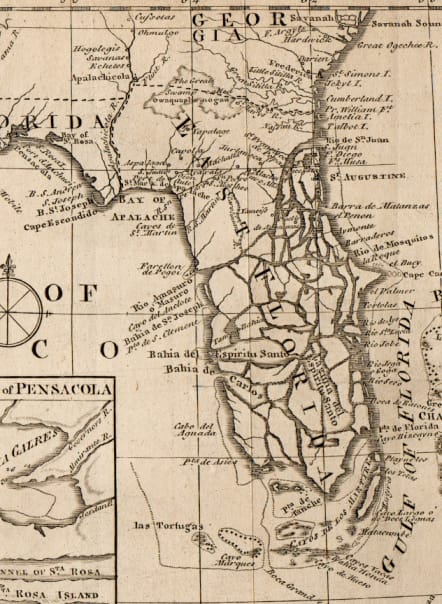
Scarce early circa 1763 map of Florida following the French and Indian War. The map depicts the region after the English acquired Florida and is one of the best examples of Florida predating the systematic British Survey of Florida, conducted in the 1770s. The regions is drawn in considerable detail and notes cities, forts, rivers, swamps, forts, and capes. The peninsula remains largely unmapped with the everglades depicted as a series of islands. An inset in the lower left quadrant depicts the plan of the Harbor and settlement of Pensacola, with depth soundings noted. Following the Paris Treaty, the English acquired Florida and trade Havana, Cuba to Spain. In order to reduce complaints between the colonists and the Native Americans, the British then set up two new provinces divided by the Apalachicola River. West Florida include the region between the Apalachicola River and the Mississippi River, while East Florida comprised of most of the peninsula of Florida.
Very good condition
Publication Gentleman’s Magazine 1763
Ref Jolly, D.C. (Brit Per) GENT-171; Cumming, W.P. (SE) #336.
code : M5429
Cartographer : John GIBSON
Date : 1763 London
Size : 19*25 cms sheet size 21*28 cms
availability : Available
Price : £395
John Gibson, contemporary to Bellin and Bonne, was an important British cartographer of the late 18th century. He produced thousands of maps and was noted as a skilled engraver and sculptor. Gibson's most important work is the pocket sized 1758 Atlas Minimus. Gibson unfortunately was not as astute in his personal life as he was with the engravers pen and spent much of his life in and out of debtor's prison.


