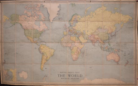
BARTHOLOMEW'S CHART OF THE WORLD ON MERCATOR'S PROJECTION
£0
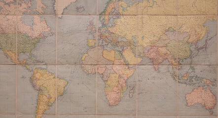
Very large and very appealing map of the World during the height of the British Empire with so much of the World in pink. Interesting polar insets with the South Pole ..marked Amundsen Dec 1911 and Scott Jan 1912..
Cabvas backed and folds into 29*23 cms with the title Bartholomew's Commercial Chart of The World Price £1-1-0 net. Dissected & Mounted on cloth.
Kept in a drawer for a hundred years and therefore in mint condition.
Exellent and fresh original lithographic colours inc all theb pink of the Empire.
Very good condition.
More info although border on this map is plainer..
Title:Bartholomew's chart of the world on Mercator's projection Title (alt.): Chart of the world
Creator:John Bartholomew & Co Creator:Edinburgh Geographical Institute Date:[1914?]
Format:Maps/Atlases
Location:Boston Public Library
Norman B. Leventhal Map Center
https://www.digitalcommonwealth.org/search/commonwealth:cj82kt50p
SOLD
code : M3650
Cartographer : Bartholomew
Date : 1914 Edinburgh
Size : 112*184 cms
availability : Available
Price : £0


