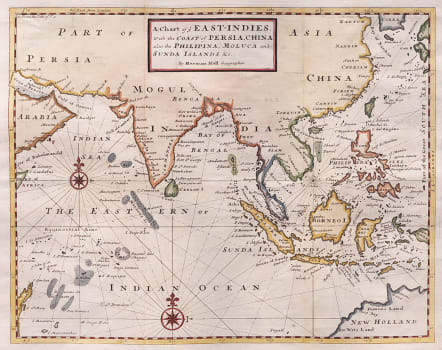
A CHART OF YE EAST- INDIES WITH THE COAST OF PERSIA CHINA ALSO THE PHILIPINA ....
£450
Attractive detailed map of the East Indies.
This map covers a wide region from the Persian Gulf and Madagascar through the Philippines and Indonesia to the coast of Australia.
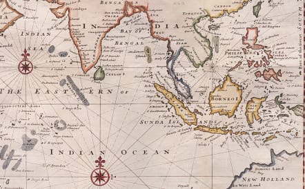
There is excellent detail in the waters including very small islands and atolls, and fishing banks are located in the Indian Ocean.
The Straits of Sincapora (Singapore) are named. Australia is labeled as New Holland with De Wits Land, and Dimens Land noted (references to the early Dutch explorations in the region).
Good strong impression
Excverlent hand colour
Verry good condition
code : M5411
Cartographer : MOLL Herman
Date : 1745 London
Size : 28*36 cms sheet size 34*47 cms
availability : Available
Price : £450
Herman Moll (1654? - 1732) was an important 18th century map publisher and engraver based in London and Holland
He moved to London in 1680 where he worked as an engraver for Moses Pitt, among other London map publishers. Around the turn of the century, Moll set up his own shop where he produced a large corpus of work known for its high quality and decorative flair.


