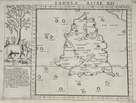
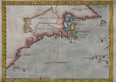
TABULA ASIAE XII
£235
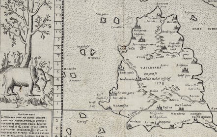
:Scarce FIRST edition of this map depicting the island of Ceylon (Taprobana), based on Gastaldi's 1548 map. An elephant with descriptive text next to the map.
Ptolemy's mythical island of Taprobana originally became associated with Sri Lanka although it was sometimes confused with Sumatra. Taprobana, as it was called on most early maps, was an important post for trade between the east and the west, and was drawn too large on many maps because of its importance.
The line across the lower part of the island represents the equator, and the numbers below the line indicate the degrees east of Ptolemy's prime meridian in the Canary Islands.
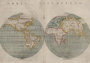
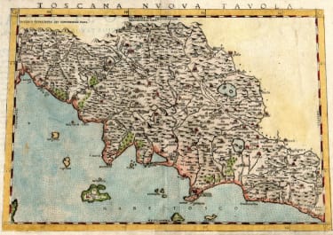
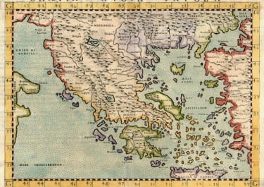
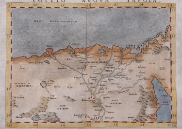
Girolamo Ruscelli's edition of Ptolemy's Geographia included newly engraved copperplates by Giulio and Livio Sanuto.
Good strong impression
Very good condition
code : M3724
Cartographer : RUSCELLI Girolamo
Date : 1562 Venice
Size : 19*25 cms
availability : Available
Price : £235
Girolamo Ruscelli (1500s-1566) was an Italian polymath, humanist, editor, and cartographer active in Venice during the early 16th century. Ruscelli is best known for his important revision of Ptolemy's Geographia, which was published post humously in 1574. It is generally assumed that Alexius Pedemontanus was a pseudonym of Girolamo Ruscelli. In a later work, Ruscelli reported that the Secreti contained the experimental results of an ‘Academy of Secrets’ that he and a group of humanists and noblemen founded in Naples in the 1540s. Ruscelli’s academy is the first recorded example of an experimental scientific society. The academy was later imitated by Giambattista Della Porta, who founded an ‘Accademia dei Secreti’ in Naples in the 1560s.

