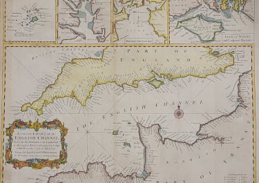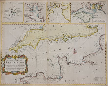
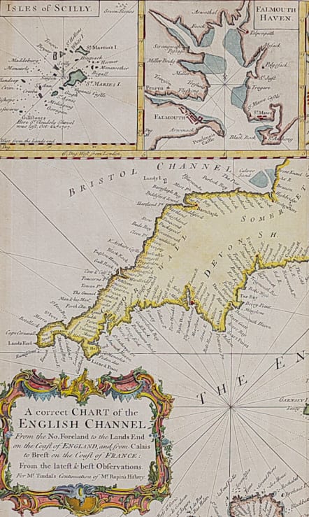
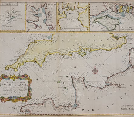
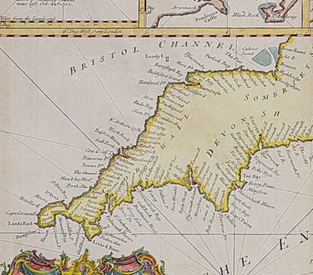
A CORRECT CHART OF THE ENGLISH CHANNEL
£225
A very attractive and dtailed map of the English Channel, with a large decorative cartouche and compass rose. Includes inset maps of the Island of Scilly, Falmouth Haven, Plymouth Sound and the Isle of Wight and adjacent Harbours.
Compass Rose Rhum lines etc
Decorative Rococo cartouche.
Excellent hand colour
Very good condition.
code : M3648
Cartographer : Seale, Richard
Date : 1742 London
Size : 38*48 cms
availability : Available
Price : £225
Richard William Seale (d.1785, fl.1732-1772) was a well-known engraver and draughtsman working in London. His work is often encountered in the maps from Tindal’s continuation of "Rapin's History Of England" (1744-1777). The atlas primarily contains maps depicting the military actions fought by the English during the campaigns of the War of the Spanish Succession, notably in the Low Countries, but also in Spain, and was also supplemented by a series of contemporary maps, of the countries of the British Isles, and parts of the wider world. Seale also contributed to a large number of other books, magazines and atlases of the period – the “London Magazine” and the “Universal Magazine”.