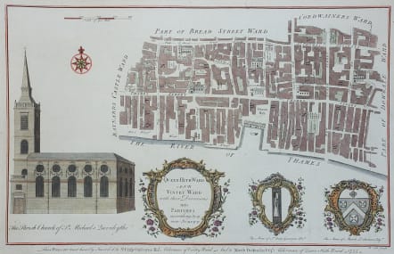
QUEEN-HITH WARD AND VINTRY WARD
£120
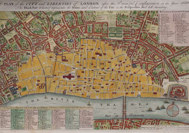
A handsome eighteenth-century map of the adjacent Thames-side wards of Queenhithe and Vintry in the City of London, taking in College Hill, Queen Street, Garlick Hill and much of (Upper) Thames Street. Decorated with a rococo cartouche, the arms of the contemporary aldermen (Sir Crisp Gascoyne and Marsh Dickinson), and a view of St. Michael Queenhithe. Originally engraved by Benjamin Cole for the part-work edition of William Maitland's "History of London" (London : 1753-1756).
Good hand colour.
Excellent condition.
code : M3378
Cartographer : Maitland Toms
Date : 1755 London
Size : 24*37.5 cms
availability : Available
Price : £120

British Isles
British Isles
British Isles
British Isles
British Isles