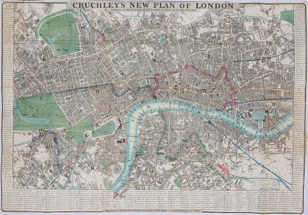
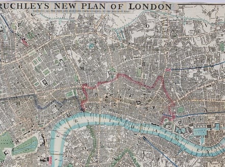
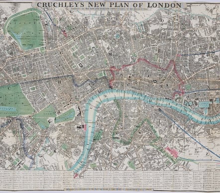
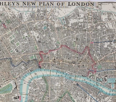
LONDON CRUCHLEY'S NEW PLAN OF LONDON SHOWING ALL THE NEW AND INTENDED IMPROVEMENTS..
£595
Very attractive folding map of London showing the extents from Pentonville down to Kennington and Stepney across to Kensington Gardens. Includes much of the area around Chelsea and London docks. Excellent original hand colour.
This map taken from an 1845 London travel book, is not dissected and laid on canvas and is therefore so much more attractive framed. The plan divided into lettered squares, the lettering corresponding to the table of references extending around the left, lower and right margins.
A couple of invisible reinforcements on rear.
Very good condition.
Engraved and published by Cruchley, mapseller, 81 Fleet Street, from Ludgate Street, St Pauls
Howgego, No. 307, A.
code : M3504
Cartographer : Cruchley G F
Date : 1840/45 London
Size : 41.5*60 cms
availability : Available
Price : £595
London map maker

