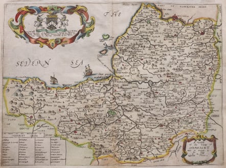
A MAPP OF THE COUNTY OF SOMERSET
£195
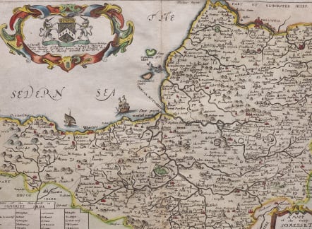
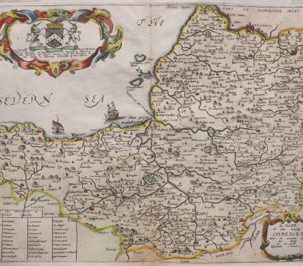
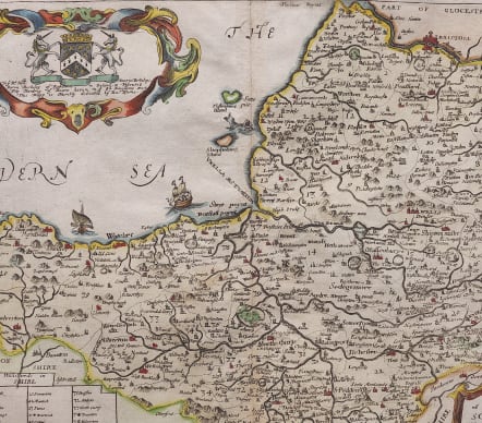
Very attractive original seventeeth century map of Somerset. Wealth of decoration with 2 cartouches, sailing ships.
Finely engraved , strong impression. Geography based on Speed map.
Excellent hand colour.
Very good condition
Publication "Britannia: or, a Geographical Description of the Kingdoms of England, Scotland, and Ireland with the Isles and Territories thereto belonging".
code : M4808
Cartographer : Richard Blome
Date : 1673
Size : 25*34 cms
availability : Available
Price : £195
Richard Blome (1641-1705) was an English publisher and bookseller who flourished from about 1670 to 1705. He published two series of English county maps. The large series appeared in Blome's Britannia, or a Geographical Description of the Kingdomes of England, Scotland and Ireland, with each map measuring approximately 300 x 250mm. The smaller series, with the maps approximately 240 x 180mm, were published in Blome's Speed's Maps Epitomiz'd: or the Maps of the Counties of England.
Blome also issued a world atlas, the Geographical Description of the Four Parts of the World, in 1670, which was re-issued as the Cosmography and Geography, in 1682 and 1693. The maps from this atlas were Anglicized copies of Nicolas Sanson's work. Blome also issued a number of Bible maps, usually after Visscher.


