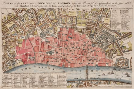
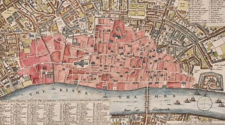
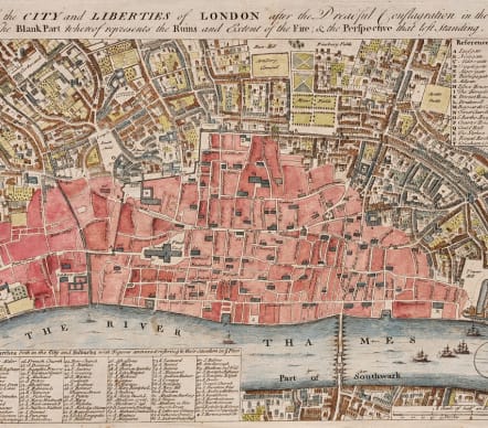
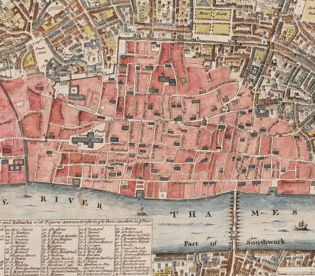
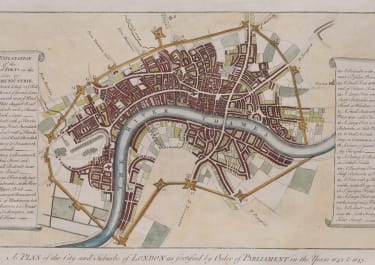
A PLAN OF THE CITY AND LIBERTIES OF LONDON AFTER THE DREADFUL CONFLAGRATION IN THE YEAR 1666
Sold
.A handsome antique map of the City of London and its environs, designed to show the vast extent of the Great Fire of 1666.
The excised detail leaves a good clear outline of the streets of the seventeenth-century City and the principal sites and buildings are given in keyed indices.
The map is based on an earlier map by Wenceslaus Hollar and was originally produced for John Noorthouck's part-work "A New History of London" (London : 1772-1773).
Very goo impression
Good hand colour
Very good colour
REF Adams 51/001. Howgego 19b.
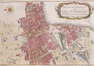
Published in 1755 by William Maitland.
code : M5378
Cartographer : Maitland Toms
Date : 1755 London
Size : 22*34 cms sheet 25.5*405 cms
availability : Sold
Price : Sold

British Isles
British Isles
British Isles
British Isles