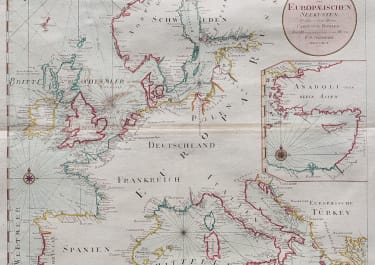
DRITTER THEIL DER KARTE VON EUROPA WELCHER DAS SUDLICHE RUSSLANBD POLEN UND UNGARN...
£295
Very large wallmap of an interesting part of East Europe, Turkey, Armenia and parts of Syria and Iraq to Bagdad.
Unbelievable details of eighteenth century towns & villages, rivers etc.
Most of eastern Europe different to todays countries and borders. Most of eastern Ukraine in Russia;
Original outline colour;
Excellent condition for this impressive map.
code : M5021
Cartographer : Franz Schraembl
Date : 1788 Vienna
Size : 104*51 cms
availability : Available
Price : £295
SCHRAEMBL, Franz Anton
1751-1803
In the last decades of the eighteenth centurv Anton Schrambl and Joseph von Reilly led a successful revival of map making in Vienna.
Completion of Schrambl's ambitious World Atlas, started in 1786, based on the best available sources of the time, was much delayed and the maps were issued piecemeal year by year until the whole atlas appeared in 1800. 1786-1800 Algemeiner Grosser At/as