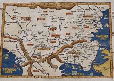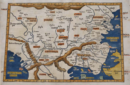
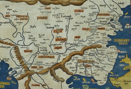
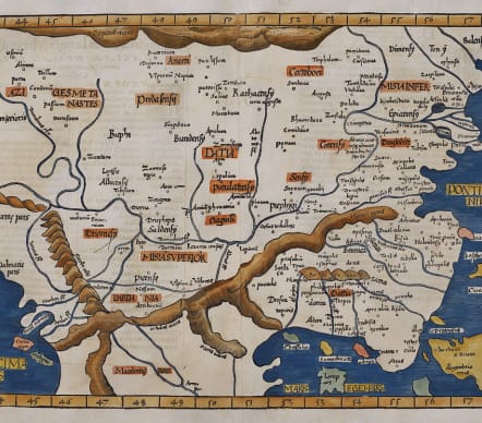
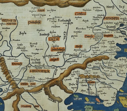
EUROPA TABULA NONA CONTINET IAZIGES METANASTAS
£600
Scarce map of the territory of eastern Europe with Romania, Hungaria, Dalmatia and the european part of Turkey with the Bosphorus.On reverse the description of the area. The ptolomy watermark on the right margin. Reverse with Latin text.Trapezoid shape.
Ptolemy's Ninth Map of Europe (Europae Tabula Nona). Originally compiled in the 2nd century, this classic map was rediscovered during the Renaissance.
The Latin phrase "continet Iazyges Metanastas" translates to "Containing the Iazyges Metanastae". This refers to a specific Sarmatian tribe that inhabited the Pannonian Plain, covering parts of modern-day Hungary, Romania, and Serbia.
Excellent colour
Very good condition
Ptolemy, Claudius Author: Fries, Lorenz
Author: Servetus, Michael
Date: 1541
Reference:
https://www.davidrumsey.com/luna/servlet/detail/RUMSEY~8~1~286244~90058832:Europae-Tabula-nona-continet-Iazige
Mickwitz, Ann-Maria (& others) ed. The A.E. Nordenskiold Collection..., II, 211.
code : M5629
Cartographer : FRIES Lorenz
Date : 1522 / 1541 Vienna
Size : 35.5*48.5 cms
availability : Available
Price : £600
Laurent Fries (*1485 - †1532)
Laurent Fries was a French physician and mathematician born around 1485 in Mulhouse. He settled finally in Strassburg where he meat Peter Apian and the publisher Johannes Grüninger which made him interested in the Ptolemy Atlas of 1513 and 1520. Fries made new woodcut maps in reduced size. His Ptolemy Atlas was published first in 1522, reissued in 1525, 1535 and 1541. He died in 1532.