NOVISSIMA TOTIUS EUROPAE
£225
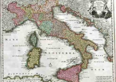
Attractive Weigel map of Europe, which is in fact a slightly reduced version of the Homann map.
Shows all of Europe extending to Iceland and the coast of Greenland. An interesting Latin note on the amorphous, fictional island of Frisland mentions that this storied island has been completely submerged by the sea. The fantastic cartouche features an emperor, putti, and many figures.
Good original colour, with cartouche left uncoloured as issued.
Strong impression
Very good condition
Publisher: Nürnberg, Johann David Köhler ca. 1720.
code : M4743
Cartographer : WEIGEL Christoph
Date : 1720 Nuremberg
Size : 28*34 cms
availability : Available
Price : £225
Christoph Weigel (c.1654-1725) and his relation Johann Weigel worked out of Nuremberg in the first half of the eighteenth century. Weigel is also known for a number of maps featuring in Faber’s “Atlas Scholasticus” (1718) and also the “Schul- Und Reisen Atlas”, produced in conjunction with JD Köhler.
Weigel was also involved with Köhler’s “Descriptio Orbis Antiqui” published c.1720. This volume contained in total forty four well engraved maps of the ancient world, many decorated with vignettes illustrating coins, medallions and mythological scenes.