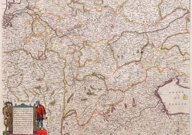
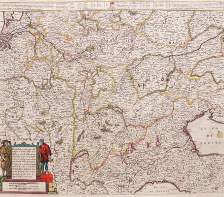
CARTA NOVA ACCURATA DEL PASSAGIO ET STRADA DALLI
£200
Scarce Map
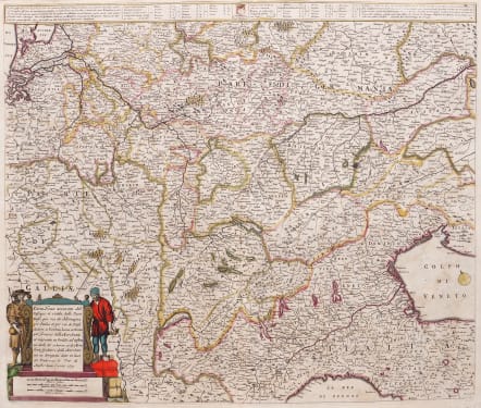
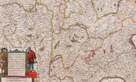
Fascinating folio map of part of Europe(Netherlands,France,Italy Germany,Switzerland & Austria)showing the major roads in the mid 17th century.
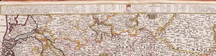
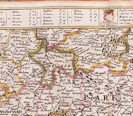
At the top of map is the price in £'s of the cost of transporting goods around Europe.
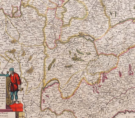
Decorative cartouche of 2 merchants standing on bales of goods.
Original colour.
Small repair in verdigris of cartouche.
Otherwise good condition
code : M5622
Cartographer : WIT Frederick De
Date : 1671
Size : 46.5*54cms
availability : Available
Price : £200
Frederick De Wit (1610-1698) was a prolific Dutch engraver and publisher, active in Amsterdam in the second half of the seventeenth century. He acquired a number of copperplates from the sale of the Blaeu and Jansson stocks to supplement his own plates, thus having a stock of about four hundred maps. De Wit’s own maps are noted for the fine standard of engraving, invariably well designed and decorative. They were very popular amongst his contemporaries, being reprinted many times both by himself and his successors, the Mortiers.