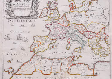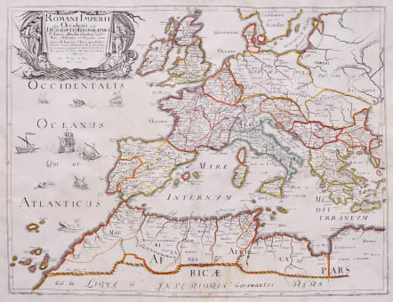
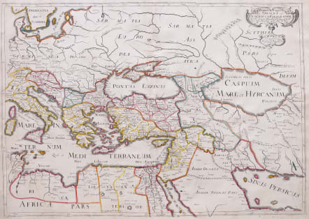
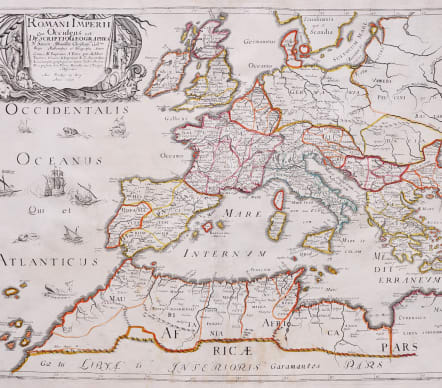
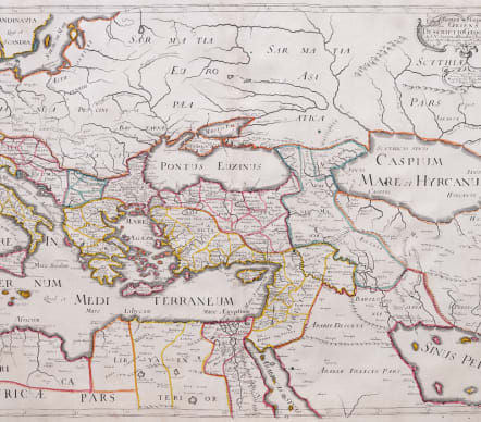
ROMANI IMPERII QUA OCCIDENS and ROMANI IMPERII QUA ORIENS
£485
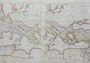
Superb the pair of maps of the west and eastern parts of the Roman Empire.
The Roman Empire in Europe and the East by Melchoir Tavernier.
Two sheets Could be joined but stand better as a pair.
Cartouches for both the Western and Eastern parts of the Empire .Decorative ships Roman Galleys and sea monsters.
Original outline colour.
Very good condition for these folio rare maps.
From: Atlas with Sanson maps, without a title page, published by Pierre Mariette. 1652.
Pastoureau, p. 401: "En 1652, on les voit [les cartes de Sanson] pour la première fois réunies en un recueil sans titre, mais dont la structure est celle d'un atlas du monde. Ce recueil, daté par son ex-libris, contient 70 cartes dont 14 de géographie ancienne." (In 1652, we see them [Sanson's maps] for the first time brought together in an untitled collection, but whose structure is that of a world atlas. This collection, dated by its ex-libris, contains 70 maps including 14 of ancient geography.)
References: Pastoureau - p. 407, Sanson V A, [101]
code : M5638
Cartographer : Pierre Mariette
Date : 1637 / 1652 Paris
Size : 39x52cm and 39x56cm, or 39x86cm when joined
availability : Available
Price : £485
Paris map maker and publisher , closely linked with sanson