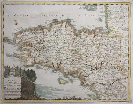
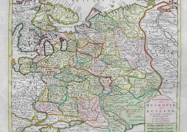
CARTA GEOGRAFICA DEL GOVERNO DELLA BRETAGNA
Sold
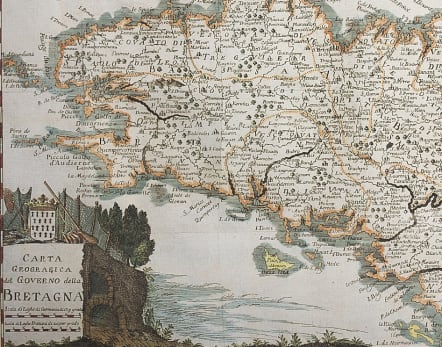
Striking and highly detailed fine unusual 1758 Isaak Tirion's copper engraved map of Brittany (Bretagne), a region of France. The map is filled with a lot of topographic details on cities, towns, rivers, lakes, islandss, as well as regional divisions. A landscape-style cartouche includes the title and two mileages. A compass rose completes the map.
Good hand colour
Very good condition
code : M4218
Cartographer : Isaac TIRION
Date : 1758 Venice
Size : 31*39.5 cms
availability : Sold
Price : Sold
Isaac Tirion (c.1705-c.1769) was born in Utrecht. He became a prominent bookseller and publisher with premises on the ‘Kalverstraat’ in Amsterdam and was also to become a member of the board of the booksellers’ guild. He was responsible for a large number of atlases and books with maps.

