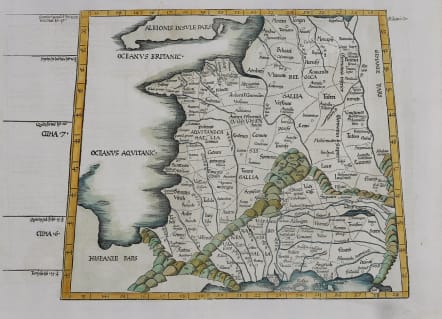
FRANCE TABULA III EUROPAE
£495
Rare early Fries Ptolomey Waldseemuller map of France..Printed Lyon in 1535 ..
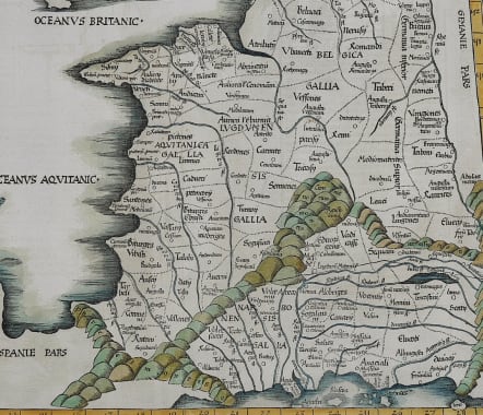
A mint condition coloured example of the 1535 edition of Lorenz Fries map of France and Belgium, based upon the work of Claudius Ptolemy.. this map was first published in Strasbourg by Johannes Gruninger in 1522, Fries map is based upon Waldseemuller's map of 1513. Each edition was of very small numbers and there are very few surviving maps.
Excellent hand colour.
A very rare map in mint condition.
code : M5049
Cartographer : Fries Waldseemuller Ptolomy
Date : 1535 Lyon
Size : 31*38 cms
availability : Available
Price : £495
Early Ptolomaic map publishers and cartographers
Italy
France
Europe Continent
Asia
Africa


