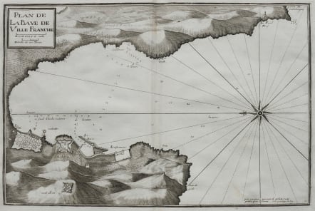
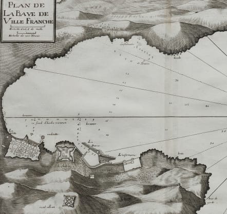
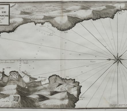
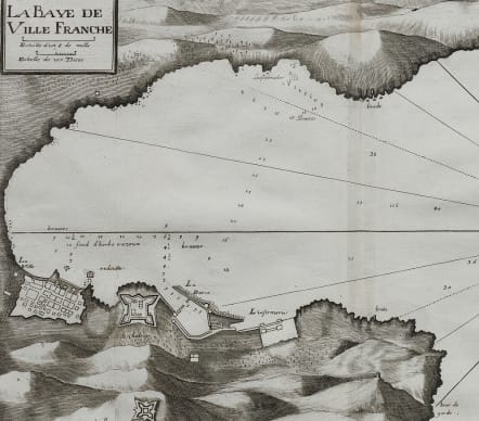
PLAN DE LA BAYE DE VILLEFRANCHE
£225
Scarce and detailed chart of the Bay of Villefranche with good detail of the town and fort in 1730.
Decorated with a large compass rose. Depths & anchorages marked.
Uncoloured as issued
Very good condition.
From the rare chart book by Jacques Ayrouard: "Recueil de plusieurs plans des ports et rades et de quelques cartes particulières de la mer Méditerranée"
code : M5078
Cartographer : Jacques
Date : 1732 Marseille
Size : 30*46 cms
availability : Available
Price : £225
Published Recueil de plusieurs Ports .. de la Mer Méditerranée.1736-1740

