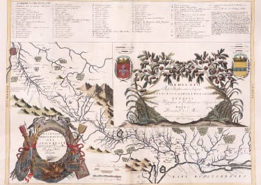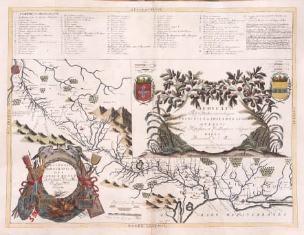
DISEGNO IDROGRAFICO DEL CANALE REALE DELL'UNIONE DI DUE MARI IN LINGUA DOCCA DESCRITTO
£295
Highly decorative and important detailed hydrographic map titled "Disegno Idrografico del Canal Reale" by Vincenzo Coronelli, dated 1693. It is part of the first volume of the "Atlante Veneto," a comprehensive atlas by Coronelli, published between 1690 and 1701.
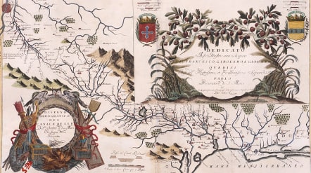
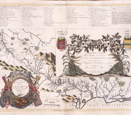
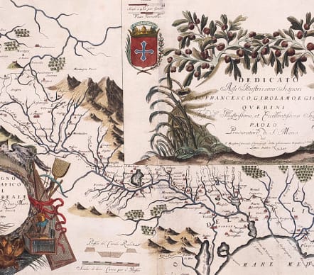
The map illustrates the Canal du Midi, a significant engineering achievement of the 17th century, connecting the Atlantic Ocean to the Mediterranean Sea. It highlights the canal's course, surrounding rivers, and nearby towns and cities. The depiction of the canal and its network underscores its importance for trade and transportation during the period.
Shows the track of canal from Toulouse to the Mediterranean at Sete.
Large cartouches
Excellent hand colour
Very good condition
References: Shirley (Brit.Lib.), T.CORO-8a, 41
code : M5614
Cartographer : CORONELLI Vincenzo Maria
Date : 1693
Size : 45*61 cms
availability : Available
Price : £295
Vincenzo Maria Coronelli (1650-1718) is widely recognised as one of Italy's most famous and greatest cartographers
Coronelli constructed two globes for the Duke of Parma and their success insured an invitation to Paris where he was to construct another, very large-scale (some fifteen feet in diameter) pair of globes for Louis XIV
In 1680 Coronelli also founded the oldest surviving geographical society - the Academia Cosmografica degli Argonauti.
As 'Map-maker Royal' to Louis XIV, Coronelli was based in Paris from 1681 to 1683. Here he had access to the latest French manuscript records, which he incorporated into his printed maps. Coronelli also published numbers of important maps in conjunction with the French publisher, Jean Baptiste Nolin. Nolin had engraved a set of celestial globe gores for Coronelli in 1688 and went on to become the French publisher of Coronelli's maps
Coronelli also published the Atlante Veneto (1691-1696), which was intended as a continuation of the Blaeu Atlas Maior. This vast work comprised some thirteen volumes and a wealth of information. Lists were included of ancient and modern geographers along with astronomical, geographical, historical and ecclesiastical detail. The maps from the Atlante Veneto are engraved in characteristic fine bold style, using the latest geographical information available. Many of the more important maps were engraved on two sheets, to allow greater detail.