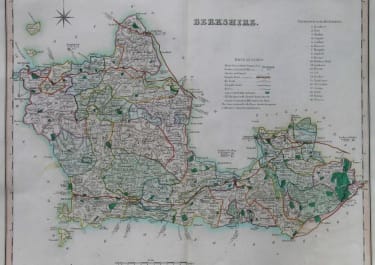
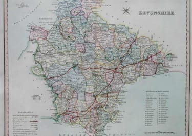
A NEW MAP OF ARABIA INCLUDING EGYPT, ABYSSINIA ...
£450
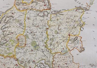
Stunning folio map of the Arabian peninsula and that part of Egypt between the Nile River and the Red Sea. Numerous caravan routes cross the map and interesting notations fill many of the lesser known regions. "Myrrh and Incense Country" is the label on the Horn of Africa. Pre dates the Thomson map who obviously used this map for cartgraphic information.
Excellent original hand colour.
Very good condition.
code : M3606
Cartographer : CARY John
Date : 1804 London
Size : 45.5*51.5 cms
availability : Available
Price : £450
John Cary (1755-1835) was a renowned and active map engraver and publisher, working between 1787 and 1834 in London. Cary’s publications did much to advance the quality and clarity of data presentation on maps. His county maps for Richard Gough’s edition of Camden’s Britannia in 1789 evidenced much improved hachuring (shading to show land relief and physical features) when compared with earlier examples – Cary’s hachuring was much less overbearing than that used by other mapmakers at this time and did not obscure map data.