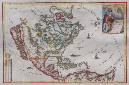
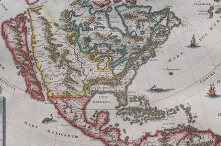


AMERICA BOREALIS MULTI IN LOCIS DEI MATREM ...1699
Sold
AMERICA BOREALIS multis in locis DEI MATREM colit &
honorat, et HÆC suis Cultoribus multos FAVORES &
Beneficia præstat. 1699
Stunning map of North America with proportionally one of the largest depictions of the Caligfornia Island. The map was oddly printed in 3 states . this one seems to be the earliest.
Sherer oriented this map to a more south westerly positionn and bestowed a more elaborate cartouche depicting a native looking to the heavens.
Cartographically, it shows the same topography as his other maps. From a bibliographic
standpoint, it can only be speculated why Sherer chose to create additional maps of the same area.
Very good condition except for some professionally repaired worm holes barely visible but reflceted in the price.
Excellent hand colour
ref: McLaughlin, map #129.
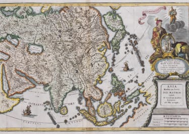
Publication "Atlas Novus", unusual publication featuring maps of all areas of the known world, indicating their religious tendencies with an emphasis on promulgating the Catholic church and faith.
code : M4369
Cartographer : Scherer Heinrich
Date : 1699 Munich
Size : 23.5*35.5 cms
availability : Sold
Price : Sold
Heinrich Scherer (1628-1704) was a Jesuit, geographer, and professor of mathematics in Munich. His "Atlas Novus", published in eight volumes from 1702-1710, was an unusual publication featuring maps of all areas of the known world, indicating their religious tendencies with an emphasis on promulgating the Catholic church and faith