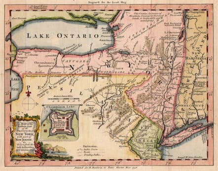
A MAP OF THE EASTERN PART OF THE PROVINCE OF NEW YORK
£350
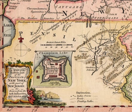
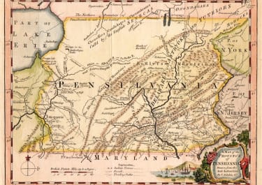
Full Title : A MAP OF THE EASTERN PART OF THE PROVINCE OF NEW YORK WITH PART OF NEW JERSEY &C DRAWN FROM THE BEST AUTHORITIES BY T. KITCHEN GEOGr
Interesting and scarce map of early days of formation of states in the North East of North America;
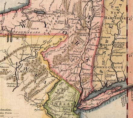
This is one of a series of maps that England's first literary periodical, the London Magazine, published during the French and Indian War (1754-63). That extended conflict between Britain and France for control of the Eastern Great Lakes and Canada stimulated interest in accurate descriptions of Britain's American colonies. Here, Pennsylavnia, New York and New England are described with part of Lake Ontario at upper left with an inset view of Ford Frederick on Lake Champlain below near the title.
Interesting detail ' The northern boundary of Pensilvania not yet settled' .
Excellent hand colour
Very good condition for this scarce map
code : M5400
Cartographer : KITCHIN Thomas
Date : 1756 London
Size : 17.5*22.5 cms sheet size 20.5*25.5 cms
availability : Available
Price : £350
Thomas Kitchin (1718-1784) was one of the best and most prolific engravers of the eighteenth century. He issued The General Atlas, Describing the Whole Universe , first published in 1773, and regularly reissued thereafter. His work also included a large number of maps of the English counties, particularly for the London Magazine (1747-1760), the Universal Magazine (1747-1766), and for Dodsley’s England Illustrated (1764). Other maps were published in conjunction with Emanuel Bowen in the Large English Atlas and the Royal English Atlas (1763).

