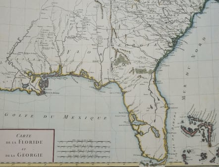
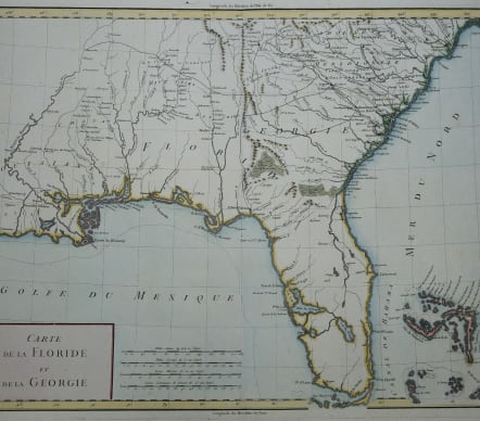
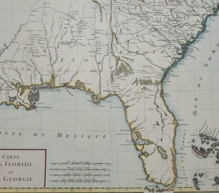
CARTE DE LA FLORIDE ET DE LA GEORGIE
£375
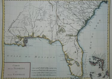
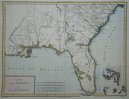
Superb map of Florida Georgia and New Orleans.
The map depicts Florida during its time under Spanish control. Numerous Indian villages are located and roads are shown connecting early settlements. There are no engraved political divisions indicating the mapmaker's bias toward either the territorial claims of Spain or the United States.
The map provides an excellent view of the Gulf Coast with a dramatically over-sized Tampa Bay.
Numerous Indian villages are located and roads are shown connecting early settlements.
An array of topographical details includes rivers, coastal islands, and early settlements such as New Orleans (Nouvelle Orleans), St. Augustine (St. Augustin), and Savannah. In Florida, a dramatically oversized Tampa Bay (Baie du St. Esprit) dominates the western coastline. The interior is marked by the presence of numerous Native American nations, notably the Creeks (Criks), Choctaws (Chactaws), and Chickasaws (Chicachas), alongside significant features like the Okefenokee Swamp (Le grand Marais d'Owaquephenogaw).
The Bahamas are also well delineated.
V good hand colour
Very good condition
code : M5676
Cartographer : Ambroise
Date : 1790c Paris
Size : 33*44 cms sheet 37*50 cms
availability : Available
Price : £375
Ambroise Tardieu (1788-1841) was a prominent French cartographer and engraver operating in the late 18th and early 19th centuries. Tardieu's work is known for its beauty and accuracy as well as for its depth of detail