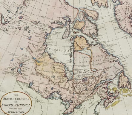
THE BRITISH COLONIES IN NORTH AMERICA FROM THE BEST AUTHORITIES
£250
A nicely rendered first edition map of Canada from William Guthrie's famous geography. William Guthrie (1708-1770) was a historian who in 1769 published A General View of Geography. This work proved very popular and he soon revised the work, adding maps. "Guthrie's Geography" went through many different editions, well past his death, with editions to as late as 1842. Later editions were regularly updated and expanded, with new discoveries and maps added. This map first appeared in 1785 .Guthrie's map of Canada was one of the first to show information from Samuel Hearne's exploration. It depicts lakes, rivers, orography (hills mountains etc), the location of Indian tribes, and various notes such as "Fort St. Charles Destoy'd" and "The Climate of this Land is a great deal more temperate than Hudsons Bay."
First Edition of Hearne's explorations ..
Excellent hand colour
Very good condition.
code : M5195
Cartographer : GUTHRIE William
Date : 1785 London
Size : 34.5*34.5cms Sheet 37*37 cms
availability : Available
Price : £250
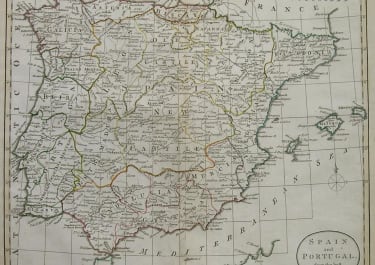
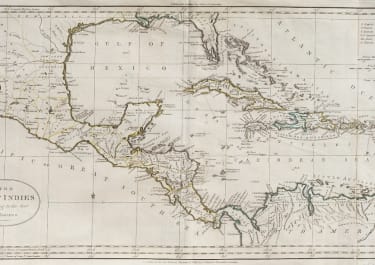
Atlas Universel pour la Geographie de Guthrie reengraved by Blondeau