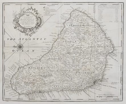
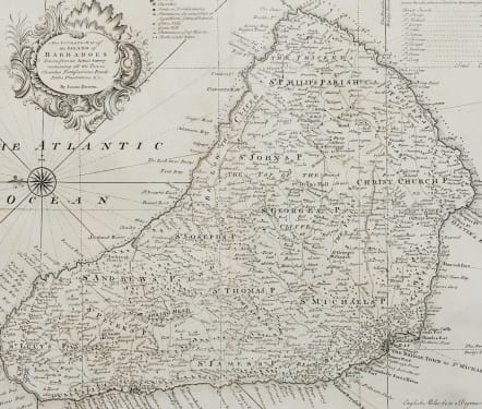
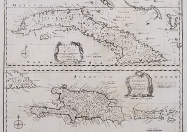
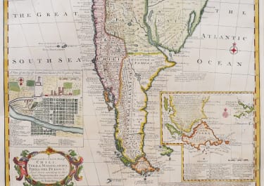
AN ACCURATE MAP OF THE ISLAND OF BARBADOES
Sold
Bowen's attractive map of Barbados from 'A Complete System of Geography'. Decorated with a compass rose and a title cartouche. Oriented to the East. An attractive and detailed map of this popular Caribbean island.
The map depicts parishes, towns, churches, forts, "Plantations of greatest Note or Sugar Works of three Windmills", “of two Mills”, "of one Mill", "Plantations of less Note &c.", and "Rocks under Water."In the upper right corner is a key listing out the acreage of the parishes of the island, totaling 106,470 acres. The parishes include Christ Church, St. Philip, St. Michael, St. George, St. John, St. James, St. Thomas, St. Joseph, St. Andrew, St. Peter, and St. Lucy.
Uncoloured as issued
Mint condition
code : M5088
Cartographer : Emanuel BOWEN
Date : 1744 LONDON
Size : 43*48 cms
availability : Sold
Price : Sold
Emanuel Bowen (c.1693/1694-1767) was an English engraver, publisher and mapseller active in London between 1720 and 1767. His prolific output as engraver and publisher earned him recognition both in England and France, for he held the dual appointment of Engraver to George II and to Louis XV of France.
Bowen engraved large numbers of maps for general atlases, geographical text-books and periodicals, particularly The Complete System of Geography, the Universal History of the World, the small-format periodical The General Magazine of Arts and Sciences and the Complete Atlas.
Bowen also produced a large number of English county maps. His earliest known publication was a series of road maps of England and Wales, the Britannia Depicta, with a map of each county, produced in partnership with John Owen in 1720 (the Owen and Bowen maps). This series was very popular, being frequently re-issued up to 1764 and was the most successful successor to John Ogilby's renowned road book.

