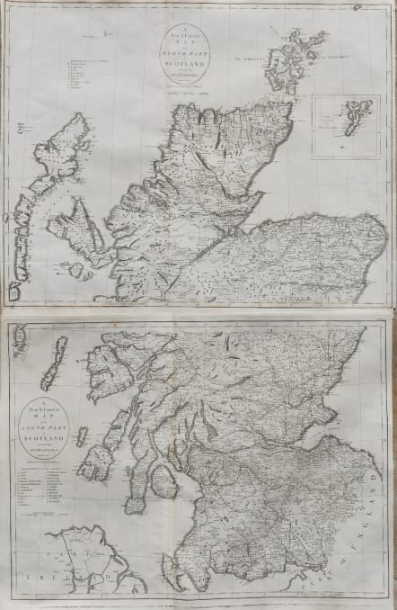
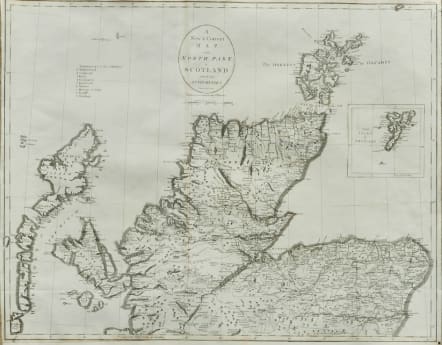

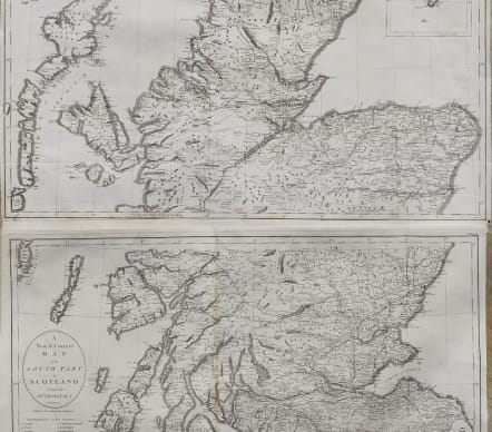
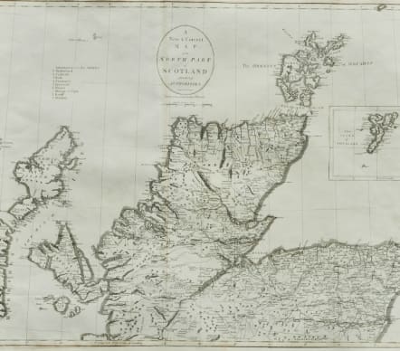
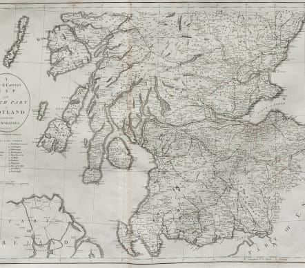
A NEW AND CORRECT MAP OF THE NORTH PART SOUTH PART FROM THE BEST AUTHORITIES
£120
A good pair of very detailed maps of Scotland by Cary £120 for the pair.
Very detailed for these new maps showing all the roads & towns and most villages.
The maps were engraved by Cary for William Gough s enlarged version of William Camden s Britannia .
Uncoloured as issued
Very good condition
code : M5178
Cartographer : CARY John
Date : 1789 London
Size : 38*52 cms 42*53 cms
availability : Available
Price : £120
John Cary (1755-1835) was a renowned and active map engraver and publisher, working between 1787 and 1834 in London. Cary’s publications did much to advance the quality and clarity of data presentation on maps. His county maps for Richard Gough’s edition of Camden’s Britannia in 1789 evidenced much improved hachuring (shading to show land relief and physical features) when compared with earlier examples – Cary’s hachuring was much less overbearing than that used by other mapmakers at this time and did not obscure map data.