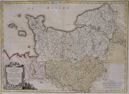
CARTE DE GOUVERNEMENT DE NORMANDIE
Sold
Decorative and detailed map of Normandy.
Shows the Channel Islands. Covers the area from Dieppe to St Malo and south to St Malo.Cartouche.
Godd original full wash colour.
Very good condition.
code : M3308
Cartographer : JANVIER Jean
Date : 1762 Paris
Size : 31*42 cms
availability : Sold
Price : Sold
Jean or Robert Janvier (fl. 1746 - 1776) was a Paris based cartographer active in the mid to late 18th century. Janvier true first name is a matter of debate, as it appears as it often appears as either Jean or Robert. More commonly, Janvier simply signed his maps Signor Janvier. By the late 18th century Janvier seems to have been awarded the title of "Geographe Avec Privilege du Roi" and this designations appears on many of his latter maps. Janvier worked with many of the most prominent French, English and Italian map publishers of his day, including Faden, Lattre, Bonne, Santini, Zannoni, Delamarche, and Desnos.