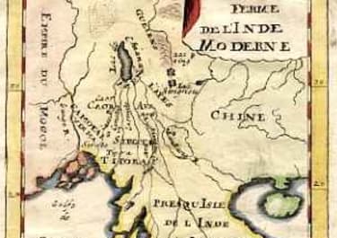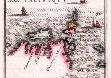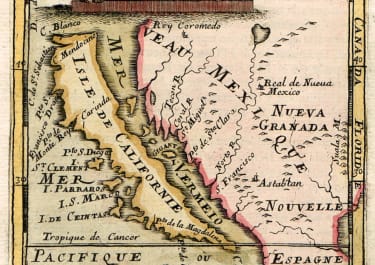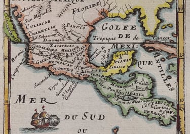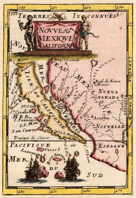
NOUVEAU MEXIQUE ET CALIFORNIE
£450
Sought after collectors map of California as an island.
First and only French edition on better quality paper and better printing than the 2 later German editions
Mallet's map of California is one of the most striking of maps of California as an island, first published in Paris in 1683.
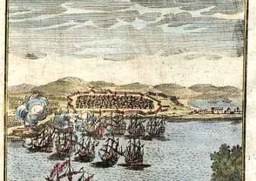
An attractive design, the title cartouche is flanked by two native figures; with two ships engaged in battle at bottom.
The map focuses on the island of California and the southwestern United States and Mexico. California has a flat northern coast with C. Blanco the northernmost place name. Four islands lie between California and the mainland; the largest is named Gigante I. The Norto R. (Rio Grande) flows from a large interior lake, with Real de Nueva Mexico (Santa Fe) located on its bank, and empties incorrectly into the Gulf of California. A unique projection, not following the previous Sanson.
Excellent hand colour
Mint condition
An essential map to any California as an island collection
Publication Mallet's Description de l'Universe, tome V..
References: McLaughlin #87.
code : M4957
Cartographer : Mallet Alain
Date : 1683 Paris
Size : 14.5*10.5 cms
availability : Available
Price : £450
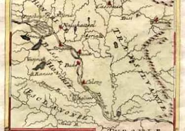
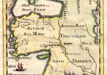
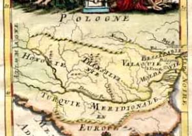
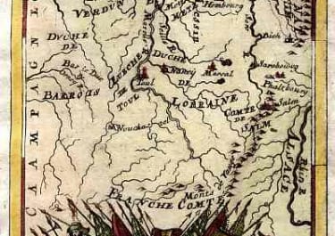
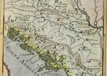
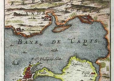
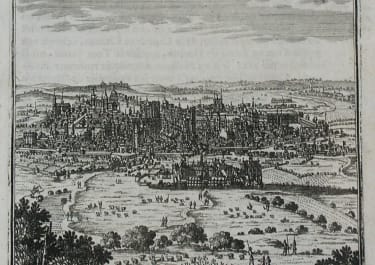
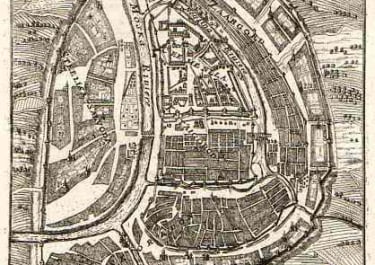
Alain Manesson Mallet (1630-1706) was a French cartographer and engineer.
He started his career as a soldier in the army of Louis XIV, became a Sergeant-Major in the artillery and an Inspector of Fortifications. He also served under the King of Portungal, before returning to France, and his appointment to the court of Louis XIV. His military engineering and mathematical background led to his position teaching mathematics at court.
His major publications were Description de L'Univers (1683) in 5 volumes, and Les Travaux de Mars ou l'Art de la Guerre (1684) in 3 volumes.
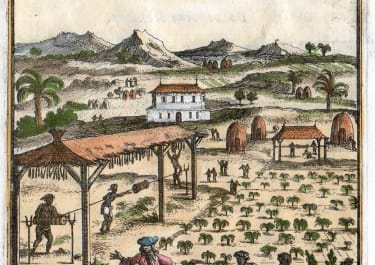
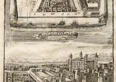
His Description de L'Universe contains a wide variety of information, including star maps, maps of the ancient and modern world, and a synopsis of the customs, religion and government of the many nations included in his text. It has been suggested that his background as a teacher led to his being concerned with entertaining his readers. This concern manifested itself in the charming harbor scenes and rural landscapes that he included beneath his description of astronomical concepts and diagrams. Mallet himself drew most of the figures that were engraved for this book.