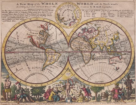
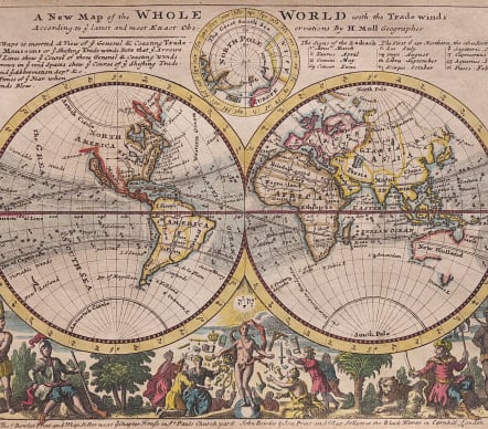
A NEW MAP OF THE WHOLE WORLD WITH THE TRADE WINDS
Sold
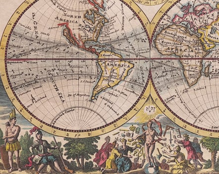
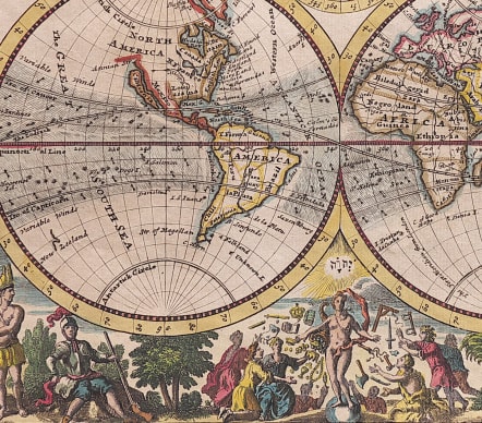
A stunning map of the world in hemispheres, the extremes of the earth as yet unknown in Europe – California shown as an island, the coastlines of , New Zeeland , New Holland and Japon undefined and incomplete. Inset at top is a map of the North Pole, notes on the prevailing trade-winds and the northern and southern signs of the zodiac, while along the lower border is a frieze depicting the people and riches of the earth.
Excellent hand colour
Very good condition
Publication
Moll Atlas Minor 1727
code : M4641
Cartographer : MOLL Herman
Date : 1727 London
Size : 20*27 cms
availability : Sold
Price : Sold
Herman Moll (1654? - 1732) was an important 18th century map publisher and engraver based in London and Holland
He moved to London in 1680 where he worked as an engraver for Moses Pitt, among other London map publishers. Around the turn of the century, Moll set up his own shop where he produced a large corpus of work known for its high quality and decorative flair.