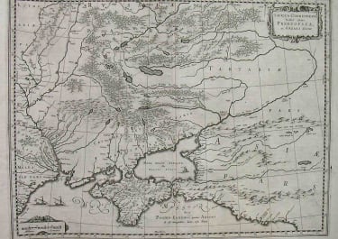
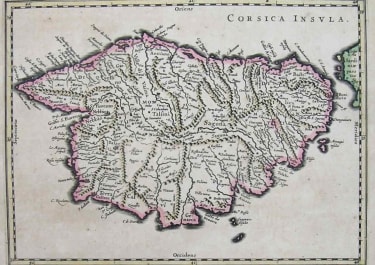
AETHIOPIA INFERIOR VEL EXTERIOR
£585
Superb map of Southern Africa with full original colour
Copper engraving first published in 1635 by Blaeu in Amsterdam. Published shortly before the first Dutch settlement in the region. The map was largely based on Portuguese exploration, both real and imagined. The area shown is from the Congo River basin around the Cape of Good Hope and up the east coast as far as northern present-day Mozambique. Information on the interior is sparse, reflecting the lack of knowledge the Europeans had about the interior of Africa. Unlike many other maps which are filled in with fanciful or fictitious information, this map more accurately portrays actual knowledge.
Much decoration with sailing ships and animals from elephants to monkeys dotted all over the map.
The cartouche depicts two native Africans holding up an ox skin bearing the map title. At their feet are monkeys and tortoises.
Wide margins
A superb map with full original colour in Mint condition
code : M4514
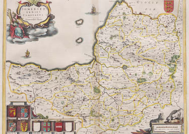
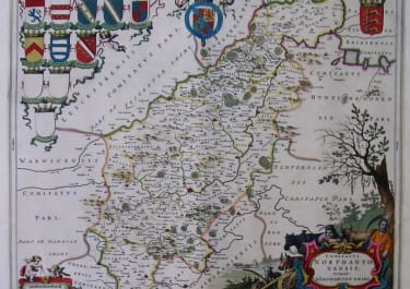
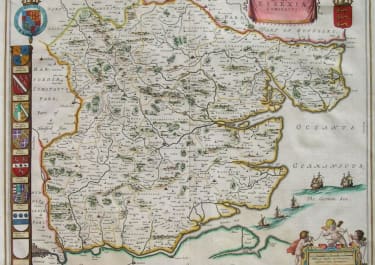
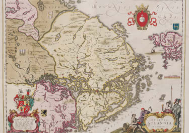
Cartographer : Blaeu Family
Date : 1690 Amsterdam
Size : 38.5*50 cms
availability : Available
Price : £585
"The finest Dutch map publishers were the Blaeu family, and they hold the title of mapmakers supreme for any period of cartographical history." (R. Baynton-Williams, Investing in Maps).
Willem Janszoon Blaeu (1571-1638) was the founder of the Blaeu publishing house and established the fine reputation of Blaeu maps.
He published his first world atlas, the Atlantis Appendix in 1630, in association with his eldest son, Joan Blaeu (c.1599-1673). The atlas was based around the printing plates acquired from Jodocus Hondius Jr.'s stock, who had himself published the later edition of Mercator's Atlas. The atlas contained some sixty maps. This work was expanded in 1631 to contain 98 maps and bore the joint imprint of father and son with the title Appendix Theatri A.Ortelii Et Atlantis G. Mercatoris.
In 1634 he commenced publication of the Theatrum or Novus Atlas. This two-volume work was larger still with up to 208 maps. This atlas, published in four separate editions in four different languages, was clear evidence of his ambitions. The success of this atlas and plans for subsequent projects meant a premises move at this time. Just one year later in 1638 Willem Janszoon Blaeu died and control of the business passed to his son, Joan.
Joan "aimed at the full description of heaven, earth and water" (Koeman, Atlantes Neerlandici) and continually expanded the Novus Atlas in this quest. The work grew to some nine to twelve folio volumes by c.1662 known as the Atlas Major, generally regarded as the pinnacle of atlas- publishing. The Atlas Maior finally incorporated over 650 maps, often found in the loveliest contemporary colour.
The Blaeu printing house was one of the largest in the world and Joan was assisted by his sons Willem, Pieter and Joan II. Their endeavours insured Blaeu maps were, and still are, renowned for the consummate care and attention apparent in every stage of production - using only the best paper with finely engraved plates and a high standard of printing.