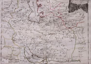
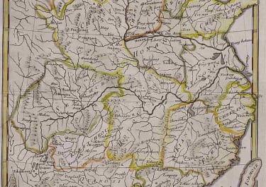
IRAN L'EMPIRE DE PERSE
£110
Interesting copper engraved map of Persia Iran,showing mid eighteenth century borders.Roads/caravan routes.Decorative cartouche.Original outline colour.Mint condition.code : M1756
Cartographer : ROUGE LE Georges-Louis
Date : 1748 Paris
Size : 18*28cms
availability : Available
Price : £110
Lieutenant George-Louis Le ROUGE
Lieutenant George-Louis Le Rouge (c.1712-c.1790) was born in Hanover, Germany. He became a Lieutenant in the regiment of Saxe before establishing himself as a publisher, compiler and editor of maps in Paris. He later became the “Ingenieur Geographe de Roi”.
Le Rouge is particularly known for such atlas works as the “Atlas Nouveau” of 1746 and the “Atlas Nouveau Portatif ...” or the “Introduction A La Geographie” of 1756 – French publications of some merit.
Le Rouge was initially a military “Ingenieur” for fortifications and he was also a map-maker for the army and Marine Royale. He was active between 1740 and 1780, in Paris at, rue des Augustins.