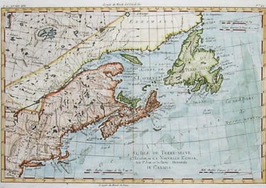
CARTE DU MEXIQUE OU DE LA NLLE ESPAGNE
£285
This is the large Lattre map based on Bonne But a larger more decorative map.
Important and attractiver map map of the Southwest, Texas, the southern United States, Mexico and Central America.
Excellent detail in Texas and along the Rio Grande River, Rio Colorado and Gila. A number of early settlements and Indian tribes shown.
Cartouche
Original colour
Very good condition
code : M4011
Cartographer : BONNE Rigobert
Date : 1774 Paris
Size : 29.5*41.5 cms
availability : Available
Price : £285
Rigobert Bonne (1727-1795), a prolific French cartographer, was active between about 1760 and 1788, working in the French Hydrographical Office, and appointed as Hydrographer to the French King.
Bonne prepared a large number of charts, some of which appeared in the Atlas Maritime. Today, he is best known for the smaller maps that he prepared for Raynal’s Atlas de Toutes Les Parties Connues du Globe Terrestre, published in 1780, and the Atlas Encyclopedique, published in conjunction with Nicholas Desmarest. Although the maps are relatively plain, dispensing with the decorative embellishment of mid-century, they are detailed and provide good coverage of newly discovered regions.