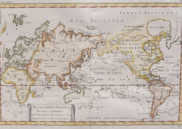
PLANISPHERE GENERAL POUR SERVIR L'INTELLIGENCE DE LA NAVIGATION ..
£225
Full title: Planisphere General pour servir a l'Intelligence de la Navigation et du Commerce des Europeens, entreux et dans les deux Indes
Uncommon map of the world showing the American continent to the right. The map is centred on the Pacific ocean and shows the tracks of early explorers as well as of some trade routes (route of the Manilla galleon).
Interstering for the outline only of part of New Zealand, no Tasmania, and part of East coast of Australia missing and the large Bay of the west in North America.
The west coast of North America as well as that of New Zealand and most of Australia have not been defined. James Cook's discoveries along the west coast of North America, during his 3rd voyage, are not shown since the expedition returned to England in October 1780.
Excelllent hand colour
Mint condition.
Publication: Atlas de toutes les parties connues du globe terrestre, dresse pour l'histoire philosophique et polique des etablissement et du commerce des Europeens dans le deux Indes, Jean-Leonard Pellet, Geneva, 1785
code : M4171
Cartographer : BONNE Rigobert
Date : 1785 Geneva
Size : 21.5*33 cms
availability : Available
Price : £225
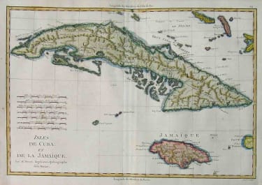
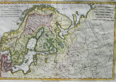
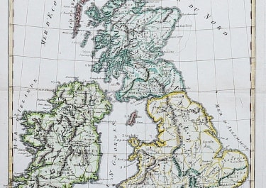
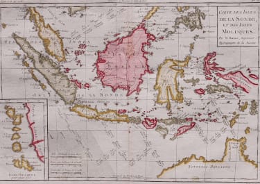
Rigobert Bonne (1727-1795), a prolific French cartographer, was active between about 1760 and 1788, working in the French Hydrographical Office, and appointed as Hydrographer to the French King.
Bonne prepared a large number of charts, some of which appeared in the Atlas Maritime. Today, he is best known for the smaller maps that he prepared for Raynal’s Atlas de Toutes Les Parties Connues du Globe Terrestre, published in 1780, and the Atlas Encyclopedique, published in conjunction with Nicholas Desmarest. Although the maps are relatively plain, dispensing with the decorative embellishment of mid-century, they are detailed and provide good coverage of newly discovered regions.


