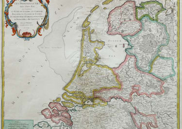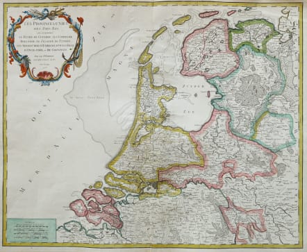
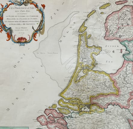
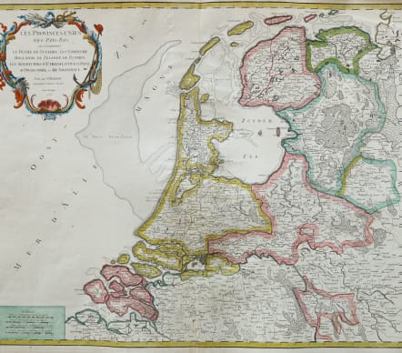
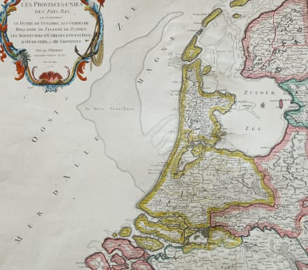
HOLLAND LES PROVINCES UNIES DE PAYS BAS
£275
Attractive and detailed map of the Netherlands, identifying the various provinces, with a large decorative cartouche. From his "Atlas Universel".
Centre fold.
Attractive cartouche.
Excellent hand colour.
Good condition.
code : M5483
Cartographer : VAUGONDY ROBERT DE Family
Date : 1753 Paris
Size : 48.5*59cms
availability : Available
Price : £275
The Robert de Vaugondy family responsible for map and globe publishing in Paris comprised Gilles Robert de Vaugondy (1688-1766) and Didier Robert de Vaugondy (1723-1786). The father (Gilles) and son (Didier) business flourished from 1731 to 1778.
Prominent at this time among French map-makers were the Robert de Vaugondy family, who made a substantial contribution to the eighteenth century world of cartography, through the breadth and success of their prolific output, which included atlases, maps, globes and book illustration.
While only a small part of their output, the "Atlas Universel" encapsulates the diligent and scientific approach adopted by the Roberts de Vaugondy, and proved to be the most successful French world atlas of the period. It appeared from c.1757 onwards.