


A PLAN OF THE CITY OF DUBLIN TAKEN FROM AN ACTUAL SURVEY
Sold
Rare Eighteenth century plan of Dublin engraved by John Robertson
Taken from Plan of the city of Dublin : taken from an actual survey from the Universal Scots Almanack.. But the ' from the Universal Scots Almanack' deleted from title.
Good detailed map of Dublin in later half of Eighteenth century. Liffey running through centre of map.
Extensive legend. Decorative title cartouche.
Excellent hand colour.
Very good condition
REF https://www.oldmapsonline.org/map/harvard/11474466
code : M5144
Cartographer : ANON
Date : 1782 London
Size : 20.5*26 cms sheet 24*31 cms
availability : Sold
Price : Sold

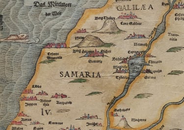
Middle East

Italy

France

South America


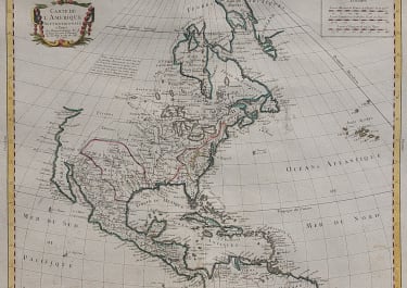
The Americas

British Isles


Asia


Pacific & Australasia


France

Middle East

Mediterranean & Islands
£95
France

£175
Italy


World

France


£45
British Isles

Low Countries

£55
Pacific & Australasia

£135
British Isles

£125
France

£45
Italy

£50
France

£75
Scandinavia

£245
British Isles

£325
Russia

£395
France

£195
North America

£85
World

£75
Italy

Middle East

Middle East

Middle East

Middle East

British Isles


British Isles

£225
Middle East

£120
British Isles


£85
West Indies

France

£95
West Indies

Asia

£165
France


France

£185
North America

North America

British Isles


Middle East

British Isles

Pacific & Australasia

North America

£125
North America

British Isles

Asia

Europe Continent

South America

Spain & Portugal

World

Italy
Middle East

France


France

British Isles

North America

Asia


North America

North America

France

British Isles


£100
Italy


Africa

Pacific & Australasia

Greece

£35
France

British Isles

Pacific & Australasia


Scandinavia


North America

Europe Continent

Italy

North America

France

Pacific & Australasia

France


British Isles

France

France

Africa

South America

Middle East

Asia

South America

Spain & Portugal

France

Pacific & Australasia


Scandinavia
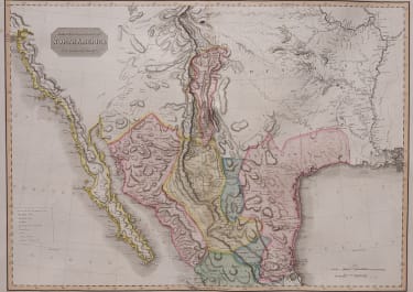
North America

Italy


World

Pacific & Australasia

South America

France

France


South America

North America

South America


World

North America

North America

Russia

North America

British Isles


North America
Scandinavia

France

France

Middle East


North America

Greece

British Isles

North America

West Indies


Pacific & Australasia


Switzerland


West Indies